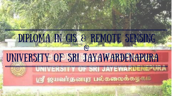
 Diploma in GIS & Remote Sensing is one of very rare and valuable GIS Courses in Sri Lanka conducted under Department of Geography at University of Sri Jayawardanapura.
Diploma in Geographic Information Systems (GIS) and Remote Sensing (RS) program is created as a career path for non graduate employees and student to provide professional qualification.
This GIS Courses in Sri Lanka is very unique program which developed by a panel of local and international experienced academics under Geographic Information Systems (GIS) and Remote Sensing (RS) .
Geographic Information Systems (GIS) and Remote Sensing (RS) is one of the emerging industries in Sri Lanka due recent development of technologies. This technology got so May useful applications in site surveying and geographical uses.
There are so many employment opportunities recently created due to the development of this technology.
Unfortunately there are few educational programs conduct in Sri Lanka in the area of Geographic Information Systems (GIS) and Remote Sensing (RS).
Department of Geography at the University of Sri Jayewardenepura is identifying the issue and introduced a Diploma in Geographic Information Systems (GIS) and Remote Sensing (RS).
Department of Geography is one of the best department in University of Sri Jayawardanapura and there are latest equipment available for conduct practical session under this university.
The main target of this program is to create new career path on this area for non graduate employees and students.
There is high quality local and international expert in This GIS and RS technology conduct theoretical and practical session.
University of Sri Jayawardanapura is also very famous for conducting important course for Sri Lankan student for affordable price. Since this university is a state university for those who successfully attain the external certificate, diploma or degree got a higher recognition compare with other private institutes.
Entrance Qualification to enter GIS Courses in Sri Lanka
Student need to pass G.C.E Advanced Level Examination in three subjects.
or
Professional or any other relevant qualification which accepted by University of Sri Jayawardanapura
and
Adequate knowledge in English Language (Both Spoken and written)
Duration of the Program: 1 Year (Classes will held on Sunday)
Medium of Study: English Language
Application Procedure
Duly completed applications should be submitted to the Department of Geography with the following documents:
• Certified copies of academic certificates.
• Certified copies of certificates of professional qualifications.
• Evidence of proficiency in English (if any).
• Certified copy of National Identity Card or Bio Page of the National Passport
This is one of the great opportunity to increases chances of employability for the applicant , and to get good extensive knowledge and professional qualifications for the employees, in the area of Geographic Information Systems (GIS) and Remote Sensing (RS) technology systems.
Contact Details
For those who need more information’s regarding the Geographic Information Systems (GIS) and Remote Sensing (RS) which conduct Department of Geography at the University of Sri Jayewardenepura can contact following contact details for additional information’s regarding the program.
Prof. R.M.K. Ratnayake (Coordinator)
Department of Geography
P.O. Box 6, Gongodawila, Sri Lanka
Mobile +94714439296; Office: +94112802028
Email: ratnayake@sjp.ac.lk