 Sri Jayawardanapura campus is one of the best center of academic and research studies in Sri Lanka. and this is one of the largest university in Sri Lanka also .
The University of Sri Jayawardanapura also committed to pursuit and dissemination of knowledge though teach, scholarship and research and active service to the community in an environment which value creativity , freedom of intellectual thoughts and expression.
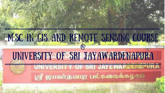
Geographic Information (GIS), Remote Sensing (RS) Master of Science program offers by the Department of Geography, Faculty of Graduate Studies at jayawardanapura campus.
This Postgraduate MSc Program on Geographic Information (GIS), Remote Sensing (RS) program is also an approved course by the University Grants Commissions of Sri Lanka.
There is high quality local and international expert in This GIS and RS technology conduct theoretical and practical session.
In addition the practical session a technology tour also conducts for this postgraduate degree also.
This is one of the great opportunity to increases chances of employ ability for the applicant , and to get good extensive knowledge and professional qualifications for the employees, in the area of Geographic Information Systems (GIS) and Remote Sensing (RS) technology.
Entrance Requirements to enter M.Sc. GIS and Remote Sensing at Sri Jayawardanapura Campus
Obtain a degree or equivalent professional qualification for recognized university or from professional institute
Or
Any other professional or equivalent qualifications which is accepted by the Department of Geography at the sri jayawardanapura campus.
Or
The officers rank of captain and above in Sri Lanka Army or and equivalent ranks in Sri Lanka Navy and Sri Lanka air force, and the officers rank of inspector and above in Sri lanka Police who hole on career base training can enroll in this program
A good command of both spoken and written English is expected to follow this program.
Duration of Program: 2 Years (Lectures and Practical session will conduct on weekends)
Medium of Study: English Language
There is a Diploma Geographic Information Systems (GIS) and Remote Sensing (RS) also conduct by the Department of Geography at the University of Sri Jayewardenepura and we have discuss the course on our previous articles.
We have alredy discussed several external postgraduate degree programs which conducted by this prestigious Sri Lankan university in our prevous posts. we are also planed to post more and more course deatils of state university conduct for external students in future.
Contact for Further Details
For those who need more information’s regarding the Master of Science program on Geographic Information Systems (GIS) and Remote Sensing (RS) which conduct Department of Geography at the University of Sri Jayewardenepura can contact following contact details for additional information’s regarding the program
Prof R.M.K. Ratnayake (Coordinator)
Department of Geography,
University of Sri Jayewardenepura,
P.O. Box 6, Gangodawila,
Sri Lanka
Tel: +94 11 2802028/ 0112758753
Mobile +914 714439296
Email: usjgeogis@gmail.com